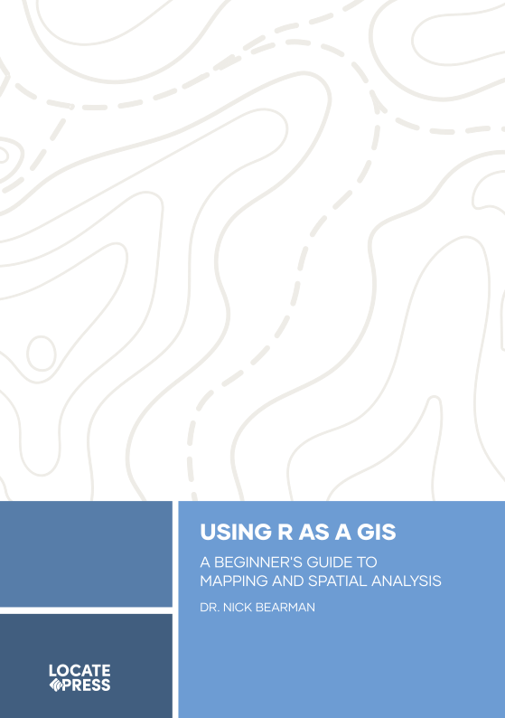
Using R as a GIS

Using R as a GIS shows you how the R programming language can transform your GIS journey, empowering you to create stunning maps, analyse spatial data, and unlock advanced geospatial insights–no prior experience needed!
This book shows you how to use R as a GIS, enabling you to all the spatial analysis you want to, with the reproducibility and benefits of working with a scripting language.
This book is designed for people who are new to R, or even new to scripting and programming. No prior knowledge is needed! Ideally, you will know a little bit of GIS already, and maybe have opened QGIS or ArcGIS. However don’t worry if you haven’t, we will cover the key GIS terminology that you need to know.
Check out more details and buy a copy on the Locate Press website. You can also download the first chapter for free!
Reviews
Dr Peter Mooney, Associate Professor, Department of Computer Science, Maynooth University
- Using R as a GIS by Dr Nick Bearman is a very timely book providing an accessible introduction to both GIS and R and how readers can develop their skills to use a script-based approach to GIS.
- The author brings a wealth of experience in the practical application, analysis, and research of GIS coupled with teaching and mentoring experience in R and GIS over many years. This is very evident in the way the book is structured and how the learning outcomes are delivered from start to finish.
- I found the book easy to read and logically split into five parts. Nick’s writing style is accessible and flows very well while moving at a pace that is very similar to a tutorial style or workshop learning experience. This enhances the book’s potential as a learning tool for a wide variety of learners.
- Using R as a GIS has the potential to enhance the learning experience of many students by avoiding unnecessary jargon and theory and focusing on a practical outcomes-based style of teaching. Well done Nick on a fine piece of work.
Read Dr Peter Mooney’s full review here
Joseph Kempf, Geospatial Jobs
- Using R as a GIS by Dr. Nick Bearman is a fantastic introduction to using R for geospatial work.
- The book is designed covers a wide range of topics, focusing on core GIS concepts and practical tools for working with spatial data.
- It walks readers through everything from cartography and raster data manipulation to creating interactive maps.
- It also introduces essential programming skills—like loops and functions—and practical tips for file management, version control with GitHub, and finding spatial data.
- Whether you’re just starting out or looking to expand your geospatial skills, this book provides a solid foundation for making the most of R in GIS.
Read the full review on Geospatial Jobs